Coltishall. Map Reference OL40 268205
Today a walk along the Bure Valley Railway path and return beside the river Bure. Parked at Coltishall "station" car park. Only 4 spaces here that you can park in. The "NO Parking" signs everywhere refer to the part as you drive in. But to your left when looking at the track you will see a "Bure Valley Walk Car Park" official notice. Alternatively there are several other places to park in Coltishall.
Walked West following the track. Navigation is very straight forward on this walk! The track follows beside the Bure Valley Railway which runs Nine miles from Aylsham to Wroxham and can be used by both walkers and cyclists.
The walk takes you deep into the countryside with views across fields and past a rather austere Little Hautbois Hall which appears to be only accessible by a tiny track which has its own railway crossing.
Approaching Buxton at a bridge there are steps taking you down to the river where you can walk under the bridge and walk back to Coltishall beside the river Bure. When you cross a small lane with a bridge the footpath continues on the other side of the river (Northern Side). Follow this Eastwards to return to Coltishall near to "Coltishall Island" petrol station and shop.
An enjoyable walk and the River Bure is lovely.
Showing posts with label Norfolk. Show all posts
Showing posts with label Norfolk. Show all posts
Thursday, 29 December 2011


Sunday, 26 June 2011
Runham, Norfolk 384108 260611
Further exploration today north of the A4y Acle straight.

Drove North from Gt Yarmouth towards Caister and Filby on A1064. Left turn to Maultby takes you into bewildering side roads where my poor sense of direction became quite lost. But eventually onto Runham.

Parked on a grassy bank by Manor Farm at the start of the footpath, very convenient. Path takes you towards the river clearly marked by Runham Drainage Mill which has been restored. Look left to view the wind turbines at Scratby, a difference in time and technology of nearly 200 years. At the bank you may find some squashed grass (that's not a track) which will take you to the banks of the River Bure.
The high bank has a part track and turning west you can follow this and enjoy views of a distant Gt Yarmouth, the busy but silent A 47, boats through the reeds on the Bure. Surrounded by birdsong in the middle of this remote piece of land this is pure joy!

Continue along the bank until just past a derelict Mill and Six Mile Cottage, what a great name, and turn down the bank towards the church of St Peter St Paul , Runham. Today the church was unlocked, a place of cool air on a hot day but more a place of quite simple serenity. Thank you for leaving it open!
Then a walk through Runham back to my sturdy steed, the old Ford.
A shortish walk but fabulous.


 |
| Love this tree. | <><><><><><><><><><> <>


Wednesday, 22 June 2011
Stokesby 431105 220611


Car park by river near to Adnams pub. Walk across the green and to the right of the phone box is a little lane (Croft Hill) going uphill. Keep going and ahead of you is the path through a field of wheat, clearly marked by a broad cut. Top marks to farmers who practice this style of path making, it benefits both walkers and farmers.
Follow path as it winds around the edge of fields. I was surrounded by bird song with fields all around me, lorries just visible in the silent distance. A disturbance in the crops saw a pair of rear legs bounding away from me, a hare I think but he was very quick.
Then a signpost directs you to the right, through a field and across a track to a farmers track by "Alder Carr." I followed this to the stream, no more signposting! I decided to follow the stream by turning left, on the southern side of the stream, using the track at the edge of the field. There appeared to be no path alongside the river bank . The O/S map does not make it too clear which side of the stream the footpath follows. On the map it runs through the middle of the stream.
Google map apperas to show the path on the northern side of the stream, must explore more. There is also a guide for this walk produced by the Broads Authority, must get a copy.
Eventually this took me to the road going into Stokesby but I had to cross a ditch to get out of the field. Others had clearly done the same before me! There was a clear path across the ditch and only a few brambles.
At the bridge it seemed there was a path the other side of the stream but all much overgrown.
Crossing the road I took the signed footpath alongside the stream at the southern side of the bridge.
The path soon became very very overgrown, but I do like a challenge. No brambles but if you are less than 5' tall you may struggle to see where you are going!! Eventually came out onto a concrete area with path ahead marked as closed due to river bank repairs. Turned left as directed along concrete path. At end this meets with a road and a turn right brings you back to Stokesby.
Enjoyed my lunch sitting on the wall by car park watching boats navigating the river Bure. Coffee in the pub, The Ferry Inn, an Adnams Pub, was good and served with a smile. The village shop is worth a visit as it is crammed with lots of bits and pieces and also has a tea room.
A most enjoyable walk, something I have not done for too long.
Stuart
Google map link
Friday, 30 July 2010
Burgh Castle- Breydon Water- Gt Yarmouth 290710 Ref Tg481051
Today a wonderful experience a wonderful walk.


Breydon Water has been a special, almost magical place for me in my 36 years in Norfolk. A little mysterious, looking fabulous in sunset, totally tidal so changing throughout the day. My dream house would have a view overlooking Breydon water.
But to the start. Long term parking just off Northgate Street at £3.50 for over 4 hours and then a 10 minute walk to the Market Gates Bus Station. A number 5 bus for £2.20 took me to the Queens Head at Burgh Castle. I felt I had been dropped off in some strange land, strange because I had never been near this part of Norfolk ever.
Turning back up the road with the pub on my right I walked to the church, a gem in its own right. From here the Roman Fort is clearly signposted across fields. You will not be disappointed by the massive walls and the view the marshes of the Rivers Yare and Waveney. Opposite is the Berney Arms Pub with the towering and dominating black "Berney Arms Drainage Mill" that you can see for miles as you walk in this special river and marsh world.
From the fort step down towards the water and take a path to your right 50 yards form the water. This will soon lead you to another path marked the "Angles Way" back towards the waters edge from here you can walk all the way into Great Yarmouth beside the water. The path is in excellent condition and much more enjoyable that the northern side of Breydon Water which is made up of large bricks with holes in. Demanding on my feet!
The views today included dramatic skies over this big stretch of water, lush green marshland, horses, cows and a family of Mum and Dada Swan with at least 6 cygnets.


My thanks and acknowledgement to Norfolk County Council for their "Norfolk Health and Biodiversity Walks. Walks in and around Great Yarmouth." A great little publication which with it's bus information lead me to this walk today.
Breydon Water has been a special, almost magical place for me in my 36 years in Norfolk. A little mysterious, looking fabulous in sunset, totally tidal so changing throughout the day. My dream house would have a view overlooking Breydon water.
But to the start. Long term parking just off Northgate Street at £3.50 for over 4 hours and then a 10 minute walk to the Market Gates Bus Station. A number 5 bus for £2.20 took me to the Queens Head at Burgh Castle. I felt I had been dropped off in some strange land, strange because I had never been near this part of Norfolk ever.
Turning back up the road with the pub on my right I walked to the church, a gem in its own right. From here the Roman Fort is clearly signposted across fields. You will not be disappointed by the massive walls and the view the marshes of the Rivers Yare and Waveney. Opposite is the Berney Arms Pub with the towering and dominating black "Berney Arms Drainage Mill" that you can see for miles as you walk in this special river and marsh world.
From the fort step down towards the water and take a path to your right 50 yards form the water. This will soon lead you to another path marked the "Angles Way" back towards the waters edge from here you can walk all the way into Great Yarmouth beside the water. The path is in excellent condition and much more enjoyable that the northern side of Breydon Water which is made up of large bricks with holes in. Demanding on my feet!
The views today included dramatic skies over this big stretch of water, lush green marshland, horses, cows and a family of Mum and Dada Swan with at least 6 cygnets.
Friday, 2 July 2010
Big C Walk of Thoughts Somerleyton 270610


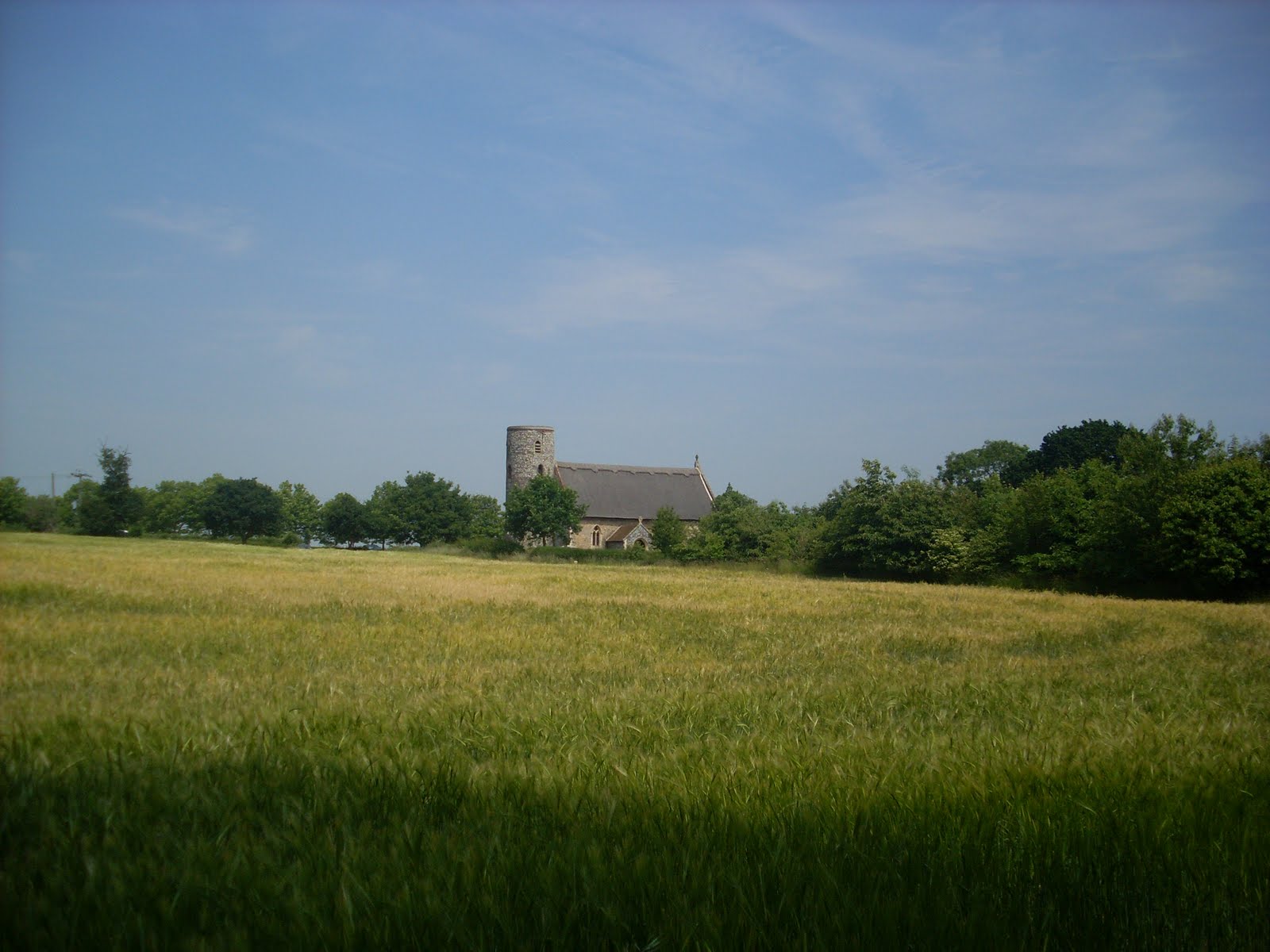
A charity walk today for Big C. The walk of Thoughts is held each year , starting at Fritton House it takes you around 6 miles of the Somerleyton Estate. This includes some formal gardens, the lake, woodland and open fields.
It is a time to reflect on friends and family lost to cancer, those fighting it and those who have had successful treatment. It is something that touches most of us and this for me is a rather wonderful way to think about all those people close to me and to see all the other people walking on this lovely sunny day for their friends and family,.Thank you Big C for organizing another lovely day.
Stuart
Friday, 25 June 2010
Coltishal -Health Walk-260610-3 Miles
A health walk today starting from the Coltishall village hall car park in Rectory Road. Turn right out of the car park and then a left through Coltishall until turning left into a wide path, past a converted chapel, looked good, and onto a path overhung by trees. joining a road we eventually climbed a good few steps to take us onto the track of the Bure Valley Railway.


This takes you under two beautiful red brick bridges and eventually to Coltishall Station where the stations buildings are now a Bed and Breakfast. Leave the railway here and a right turn at the end of the drive takes you back along the road to the Coltishall Island and the bridge. Cross a busy road and enjoy a wonderful walk along the gently flowing river. You can cross over the river by the sluice and return through a woodland path to the Coltishall Island and back to Rectory lane.
A very lovely walk and my thanks to Ray our leader today and very genial host!
Sunday, 13 June 2010
North Walsham Canal 100610 TG346272 -3.5 Miles




Credit for this walk is to the Jarrolds Short walks series-Norfolk into Suffolk:the coastal fringe
This rates as one of my favourite walks. Number 10 in the guide and I do not think I would have found it without the guides help!
I do recommend boots or stout shoes and a walking stick for help over the sections of boggy path. I always wear ankle gaiters when walking and in the wet grass of the meadows these really proved themselves.
Your first challenge is to find the car park which is near East Ruston just past Barnells farm. Coming from Norwich you have to go roundabout a bit due to not many roads and waterways. See map reference.
From the car park a very short path,6' takes you onto the Weavers Way, a former railway line. Turn right and then at the gate by a cottage turn sharp left. Follow this track through a gate into a field. On the day I walked there were cows but fortunately on the far side and no hindrance to me. At a second gate continue along the side of the field. At the end of this field is a stump where a gate used to be. take a diagonal path across the filed to a style which puts you at the edge of the canal and you can see "Tonnage Bridge" ahead of you.
At the bridge, pause and enjoy the view of the canal if you are tall enough to peek over the wall! The bridge was restored in the 80's. The question I ask is why was such a substantial bridge put there in the first place? Perhaps the horses pulling the barges crossed the river here.
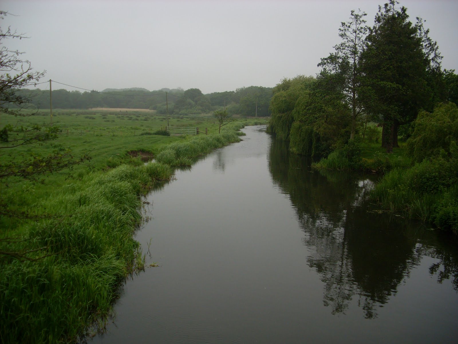
 Walk over the bridge and immediately turn right through a gate to follow the canal northwards. Then enjoy a walk of open fields as you follow alongside the canal. Parts of the path are only inches above the water level making the path very soft in parts and highlighting how fragile parts of this land are. You will come to a copse of Alder trees on your way.
A plank bridge leads into a wood. On the day of my walk all the wild Iris were in bloom so I was greeted with a wonderful yellow display.
Soon you will hear the sound of rushing water. Is this a waterfall in Norfolk you may ask? Well its the best equivalent as you are approaching the lock at Honing. The gates are long gone but there are still heavy pieces of steel and some great brickwork viewed as the water rushes down and then becomes still once more a few yards along the canal.
Cross the bridge at the lock, through some trees and you come to the Weavers Way once more. Turn right, eastwards for a one mile walk back to the car park.
Have you enjoyed this walk? I would love to hear your comments!
See also The North Walsham and Dilham Canal Trust
Stuart
Addendum-My lovely special friend- Liz
On the day of this walk I went to Gorleston later on to taxi my very dear friend Liz back to Beccles from the James Padget Hospital. Liz had just had a session of Chemotherapy at the hospital. On the way back we had such a laugh together and she treated me to a cup of tea at her new house. Liz was always so bubbly and chatty, she made the most of every single moment. Sadly a few days later, Liz had a massive stroke and died shortly after. I will miss her so much but am so grateful that on the day I enjoyed the North Walsham Canal I also enjoyed that precious time with Liz.Live your life, live your day, God bless you Liz xx
Saturday, 29 May 2010
Pulham Market Health Walk 270510
A health walk today form Pulham Market just off the A140, south after Long Stratton.


A beautiful thatched village complete with thatched pub, The Crown. From the green we went East along Barnes road into the countryside and then into the delightfully named Duck's Foot road. Eventually a track on our left took us onto Boudica's Way. This long distance path runs from Norwich to Diss. On reaching Boudica's way we then turned south to head back to Pulham Market. The path meandered alongside a stream with a great little one plank bridge, well made and with substantial hand rails, we emerged by the Pulham Market bowls club. A lovely piece of countryside. Coffee afterwards in the pub, The Crown where the landlord was a good host and made us welcome. I may well return.
Behind the pub is a wonderful church with a superb wooden roof and mural, well worth a look.
Feedback welcome!
Stuart
Thursday, 6 May 2010
Ashby St Mary near Thurton, Norfolk 060510


2.4 Miles Ref 022329
Today took me just off the A146 at Thurton to Ashby St Mary. Parking with narrow lanes and no village hall. I do love village halls for their easily accessible car parks during the quiet mid-week. I eventually squeezed myself on to the edge of a field entrance trying carefully to avoid obstructing Mr Farmer.
The path starts near the side of the church and takes you northwards to Claxton. Unusually for Norfolk this area is partly rolling countryside, paths go up and down and the views are superb.From Claxton I made my way to St Andrews the church of Claxton where someone had kindly installed a bench for me to enjoy lunch on, in the sun but shaded form the cold wind. I had to put gloves on today despite the sunshine,.
Footpath difficulties!
Leaving the church behind me I crossed the road and followed the footpath sign but where the path went seemed very unclear. Navigation by pylons took me to a point where I could see the path I needed would intersect but it took a bit of walking across ploughed fields to get there. The next footpath was clearly marked with a new post and took me across an otherwise unmarked growing crop. Without the post I would have been a bit stuck and without these markers parts of the countryside could slowly become lost to all of us.
A good walk , navigation challenges are interesting and often give me a great sense of achievement once I have eventually found my way.

Can anyone tell me what these pinky blooms are?
Stuart
Subscribe to:
Posts (Atom)